
c. 2600–1900 BCE / South & Southeast Asia
Indus Cities and Public Infrastructure
Cities such as Mohenjo-daro developed brick-built neighborhoods, drainage systems, and standardized objects, revealing another path to early urbanization.
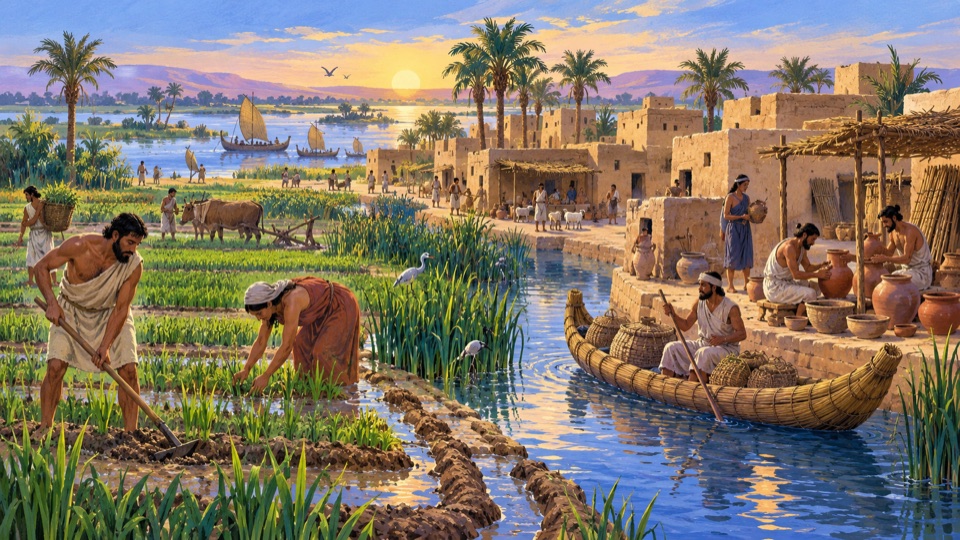
The story
An interconnected network of cities emerged in the Indus Valley and neighboring regions. Mohenjo-daro's streets, brick buildings, and drainage systems show that its inhabitants had complex capacities for public organization. Seals and shared practices of measurement supported long-distance exchange, but the local script has not been reliably deciphered, and forms of government remain disputed. The grandeur of the ruins alone therefore cannot establish that they were ruled by a particular king or a single empire.
Elsewhere in the world
Indus merchants had maritime and overland trading connections with Mesopotamia; objects from the cities reveal early exchange across regions.
Dates and precision
c. 2600–1900 BCE Approximate period
The dates describe a process over time; the interactive timeline uses its starting point.
Representative map location
Representative coordinates · 27.329°, 68.139°
Coordinates locate a representative point for the story. They do not mean the event happened only here and do not represent historical borders.
Bibliography
- UNESCO | Archaeological Ruins at Moenjodaro
Sources are listed as bibliography titles, without external links. A reference does not mean every sentence or interpretation has been independently verified.